
More Than Just An Archeological Tool
Thomas Garrison is pretty much excited and proud of the discovery he and his team made using the LiDAR technology for which he has only good words. It is very surprising to see that garrison and hi steam don’t fully use the potential of the LiDAR technology. “We don’t use about 92% of the LiDAR data. We just throw it out to make our maps, but there is incredibly valuable information in that forestry data,” he said.
Emotional Achievement
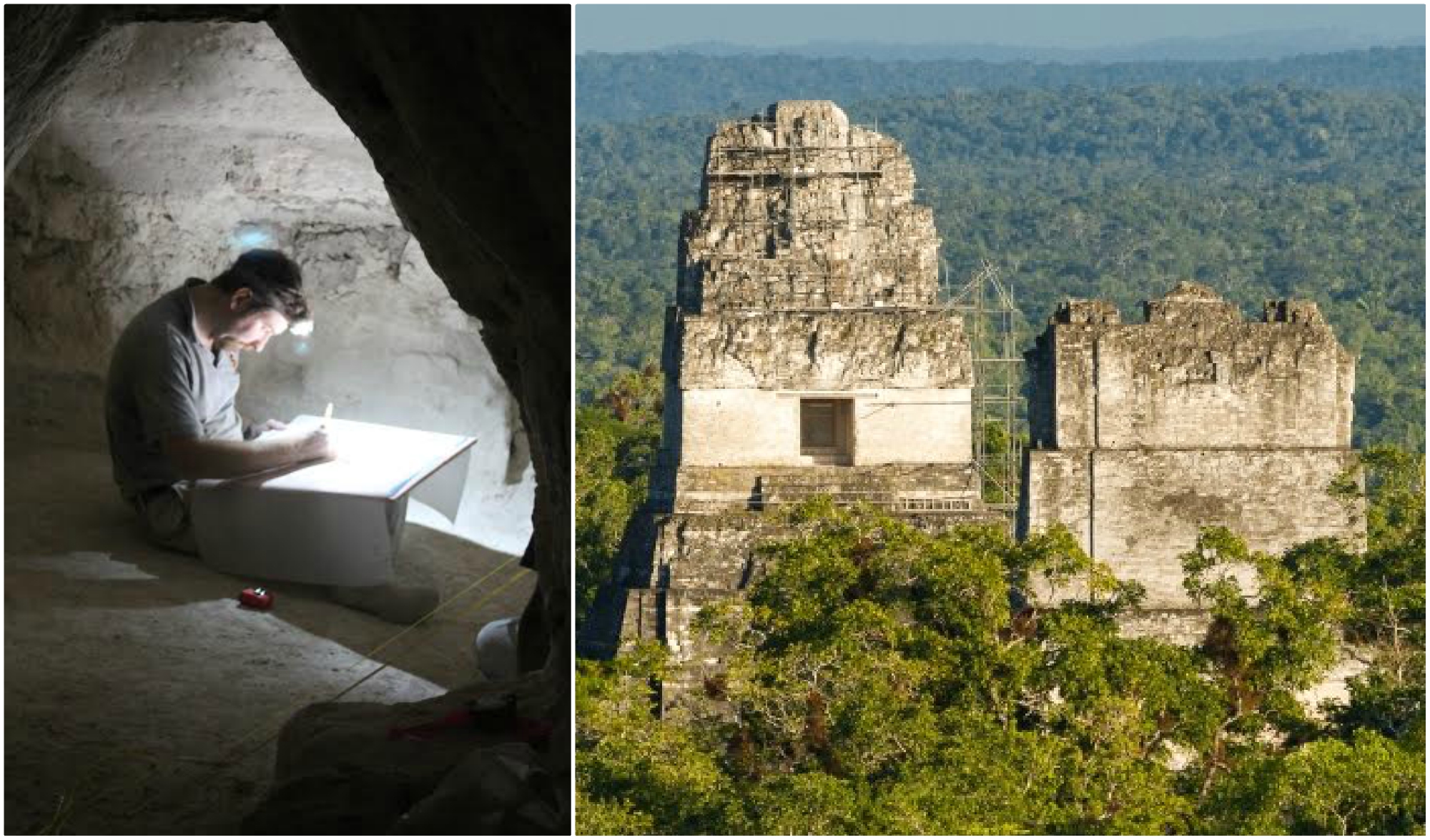
Stephen Houston professor of Archeology and Anthropology, Brown University, who has given almost half of his life in researching about the Mayan civilization got very emotional after the discovery. “I think this is one of the greatest advances in over 150 years of Maya archaeology” Houston said. The significance of the survey actually made Houston extremely emotional. “I know it sounds hyperbolic but when I saw the [LiDAR] imagery, it did bring me to tears.”
A Long Way To Go
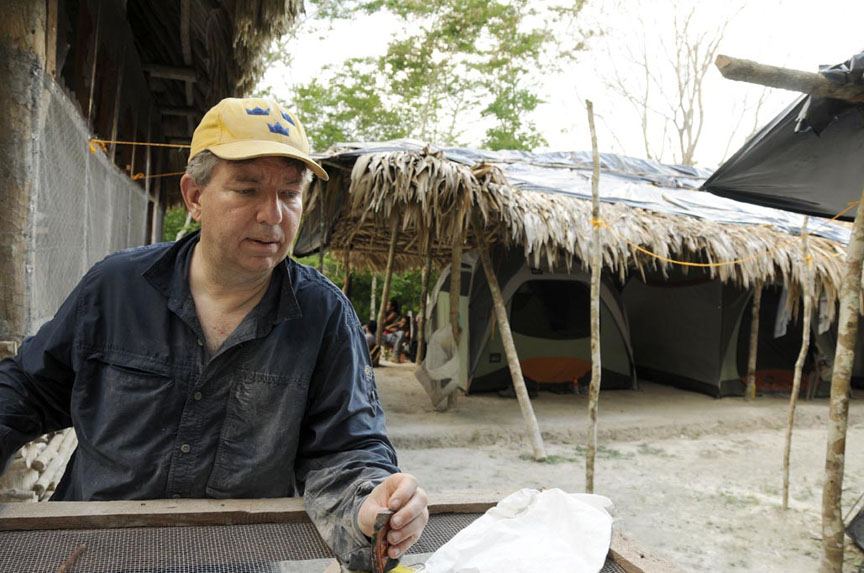
“Lidar is revolutionizing archeology the way the Hubble Space Telescope revolutionized astronomy, We’ll need 100 years to go through all [the date] and really understand what we’re seeing,” said Estrada-Belli archeologist from the Tulane University. There is a lot of thought which the great minds like him have to put in the discovery before they could tell something more concrete about the Mayan civilization.
Great Problems
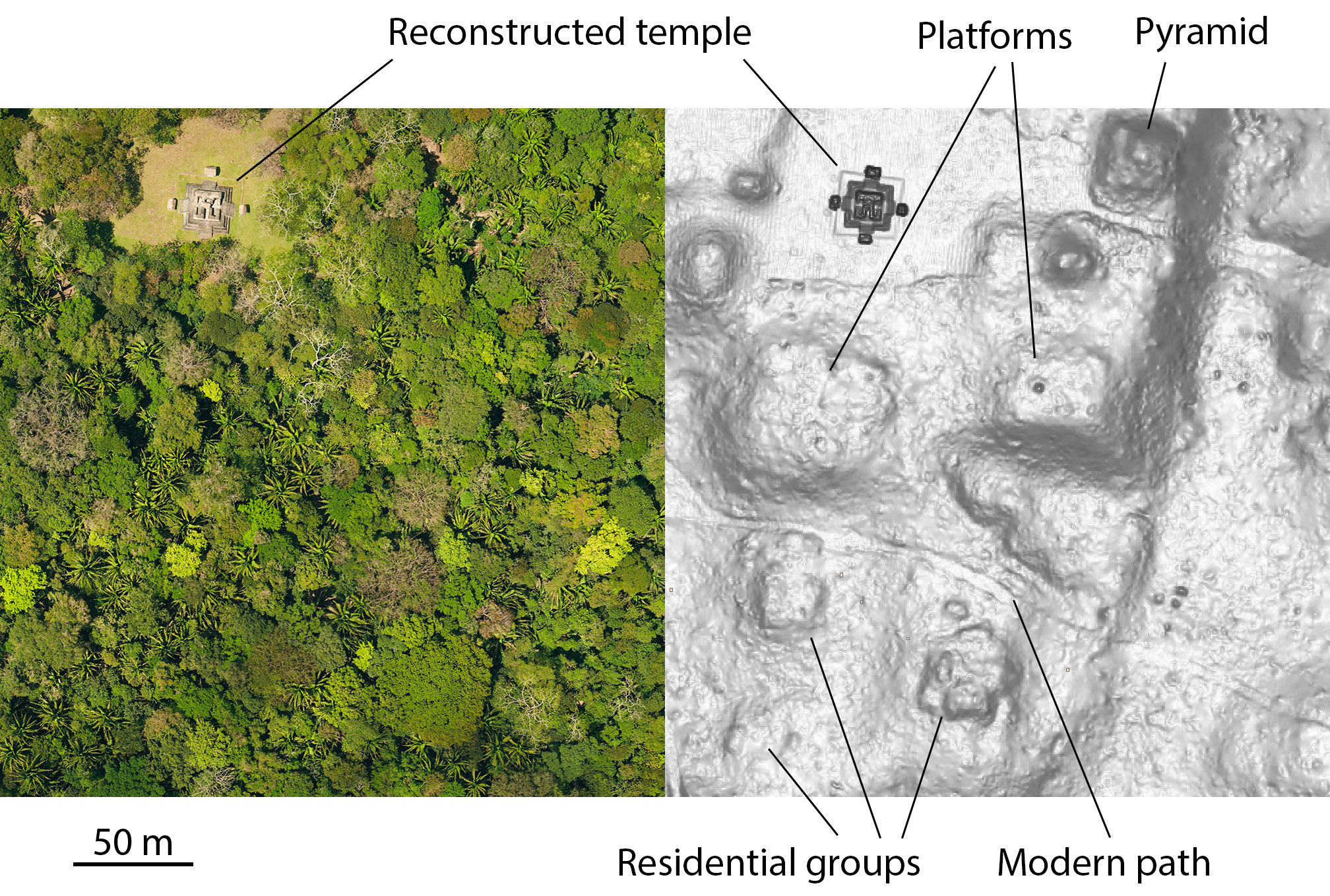 “The tricky thing about LiDAR is that it gives us an image of 3,000 years of Mayan civilization in the area, compressed,” he said. “It’s a great problem to have though because it gives us new challenges as we learn more about the Maya,” said Thomas Garrison who thinks that the LiDAR technology rather than solving the problem has created some new for them. There are several other challenges which they need face to reach the bottom of the mystery of the Mayan civilization.
Dangerous Game
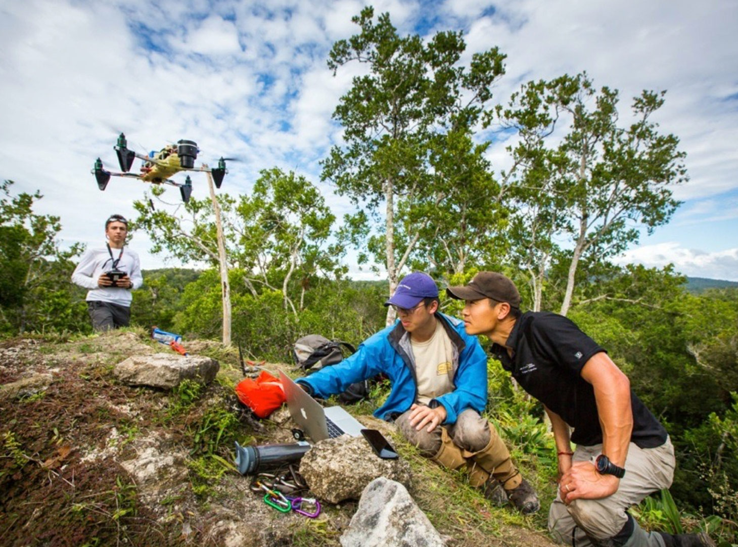
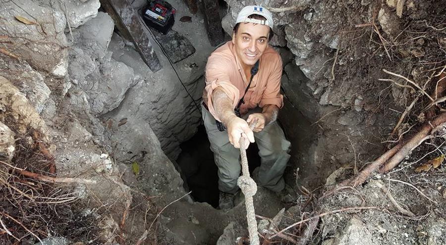
Though the archeologist found something amazing with the help of LiDAR technology it was engineer Albert Yu-Min Lin who was in charge of finishing the project and the head of the second stage in the project. The LiDAR showed them the scanned images but it was Albert’s team who has to actually step inside the jungle where there was a risk of snake bites, poisonous insects, Scorpio and what not. It was them who could tell if the scanned images are accurate.
Lidar – Step By Step
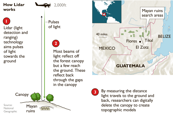
The above image gives a clear idea about how the LiDAR technology actually works. There are three steps basically. First, the lasers are aimed at the location from the plane to the ground. Second, differentiation between the beams which actually are able to travel between the trees and those which gets reflected back. And the last part, converting the beams into the information they sent.