The Inspiration

So how does this app, which saved the hikers’ lives, work so precisely? The software for the app was developed by Chris Sheldrick. The inspiration behind this idea came from his rural upbringing in the English countryside. It all started with the problem of a postcode.
Postcode Problems
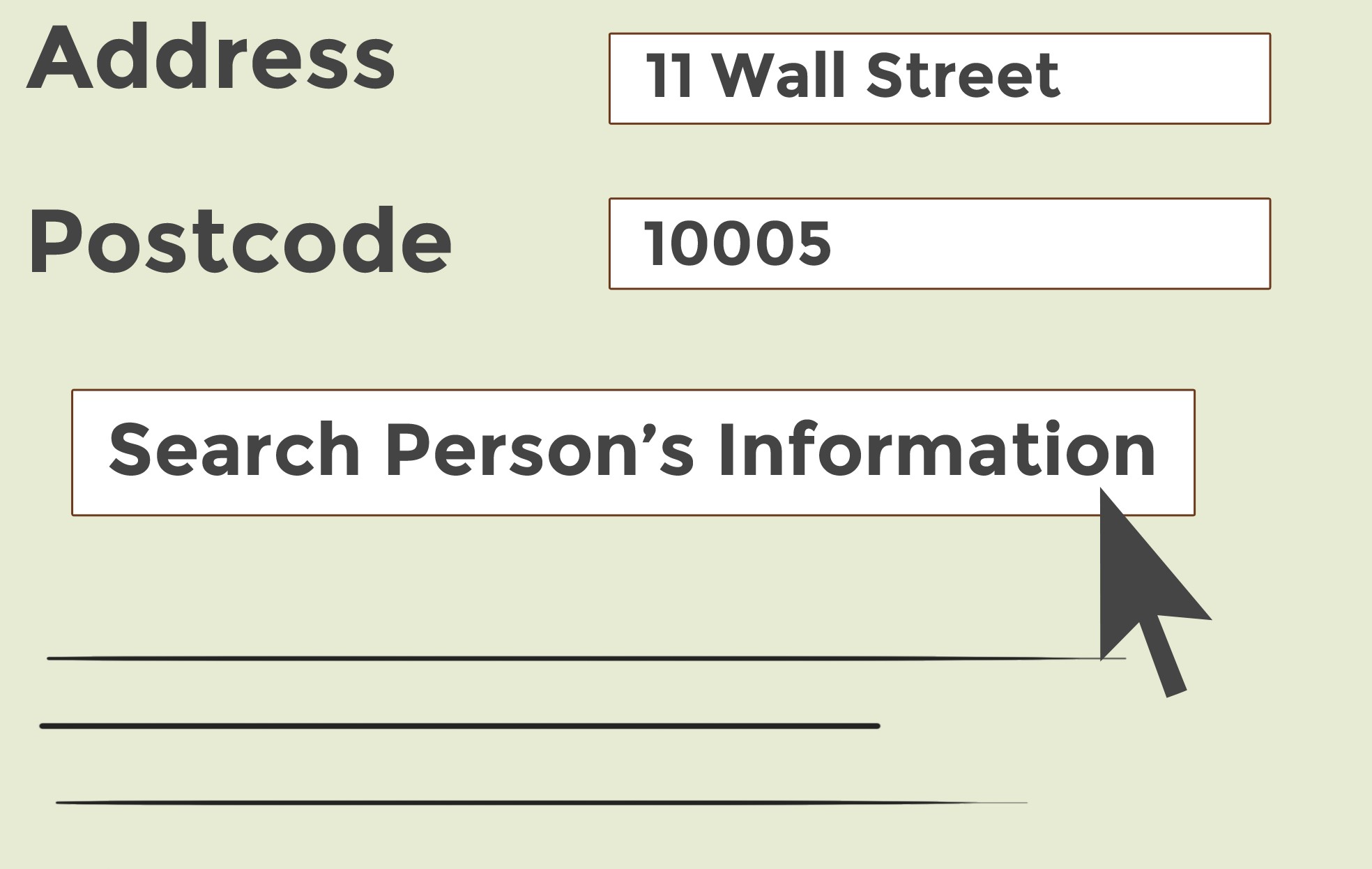
The postcode of an area is used to denote a specific number to that area to sort out mails and deliveries. As a kid, Chris recalled receiving mails meant for other people or standing on the road to flag down delivery trucks. Because the issue behind postcodes is that it did not point to a particular house, it covered a large area with numerous houses.
Growing Up
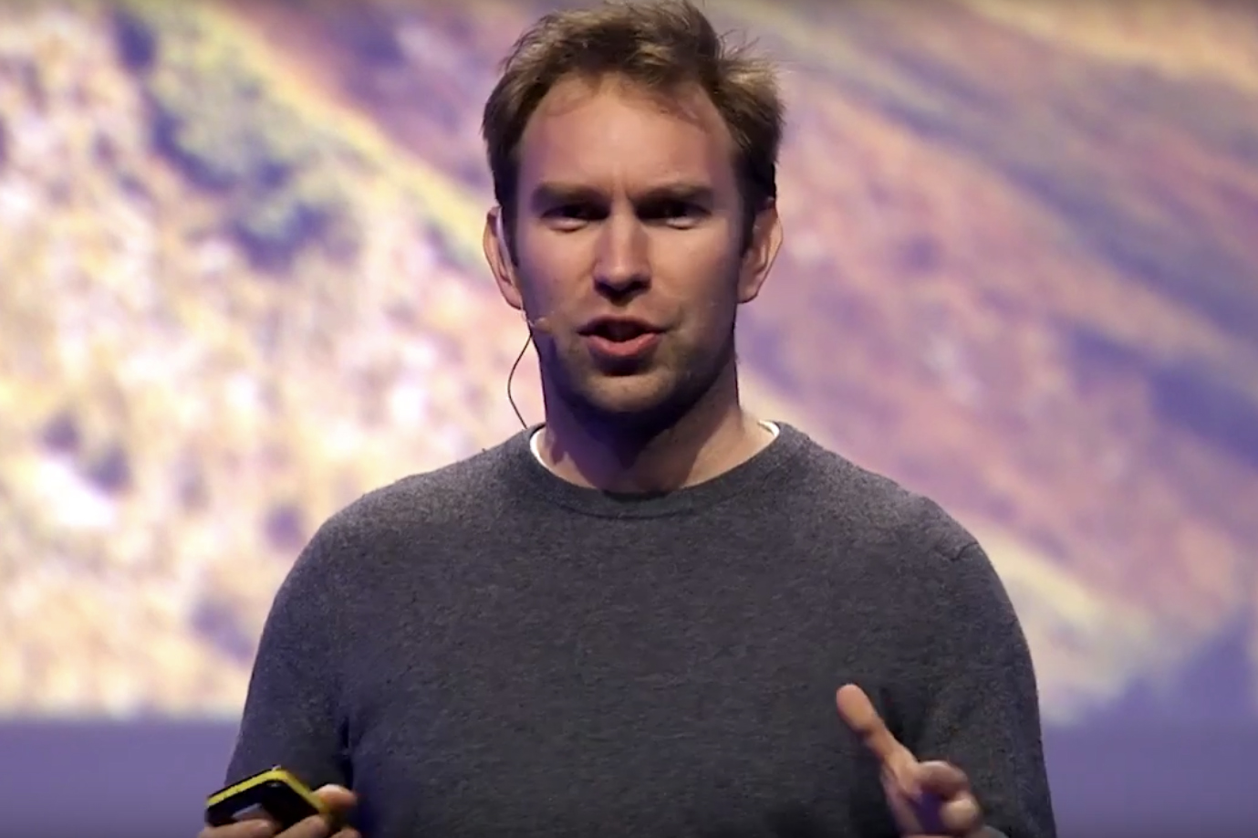
Sheldrick grew up to work in the music industry for almost a decade. However, the same problem persisted even then. He faced problems when bands needed to meet at a particular venue for concerts or when musicians and singers will find themselves on the other part of the town instead of the correct location. This became a substantive reason behind Sheldrick’s frustration.
Constant Bad Days
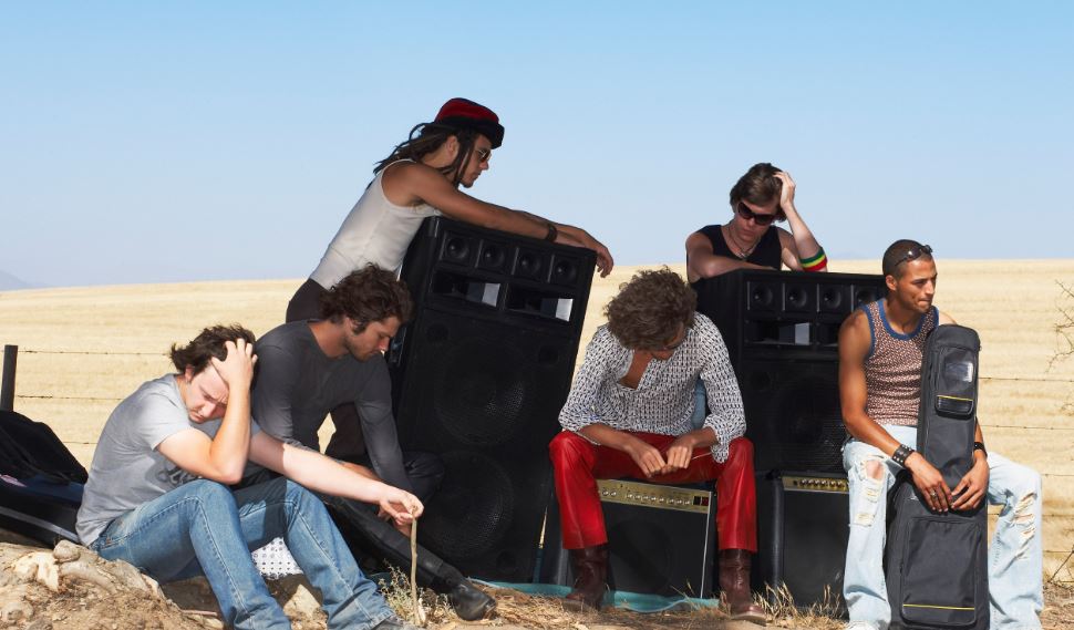
According to the What3words website, “Sheldrick had some pretty bad days, like in Italy, when the driver unloaded all the band equipment an hour north of Rome instead of an hour south of Rome. And a slightly worse day, when the keyboard player called him and said, ‘Chris don’t panic but we may have sound-checked at the wrong wedding'”
Complicated Method

Sheldrick came up with the idea of using longitude and latitude to map out the exact location. But as you can guess, it didn’t work at all. It is difficult to remember numbers as it is, so the more the digits in a number the harder it is to recall. While the idea might be complicated, it wasn’t necessarily a bad one. So Sheldrick began to think of ideas that would simplify this method.
Something Intuitive

In the year 2013, Sheldrick began to refine his idea with the help of a former pupil who was a maths whizz. They began to think about how to compress this 16 digit number of longitude or latitude and make it more user-friendly. They wanted to create a system that is as precise as a GPS but much more intuitive.
